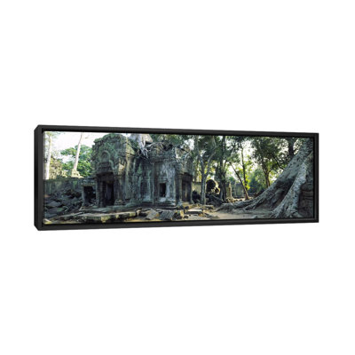
Produced and published by the Central Intelligence Agency, this map of Cambodia under the Khmer Empire shows the region in a period of political instability and transformation as the war in neighbouring Vietnam continued to create strife throughout the region. CIA maps were essential for maintaining shifting geopolitical boundaries and were highly utilized by military and government officials to understand areas while developing plans and strategies to implement as policy both nationally and internationally. This map is also historically significant as it was created in 1970 as the US-backed Khmer Empire gained control of the nation through a coup which was later overthrown by the Khmer Rouge, which established itself as a dictatorship that would finally be dissolved in 1997 under the Cambodian People's Party and Prime Minister Hun Sen. Cambodia features a high level of biodiversity and has become one of Asia's fastest-growing economies. It has been inhabited since prehistoric times and is home to numerous seasonal tropical forests. Cambodia came under French colonial rule in the nineteenth century, and the cultural influences in architecture remain in its largest city Phnom Penh to this day. Angor Wat is a well-preserved series of Buddhist temples that draws tourists to the country annually and represents the pinnacle of Khmer architecture from the Angkorian era. This is an authentic piece of international cartographical history that bears a minimal aesthetic and shows the nation of Cambodia in a period of significant transformation. CIA maps remain an essential resource for political policy and strategy.


 or
or